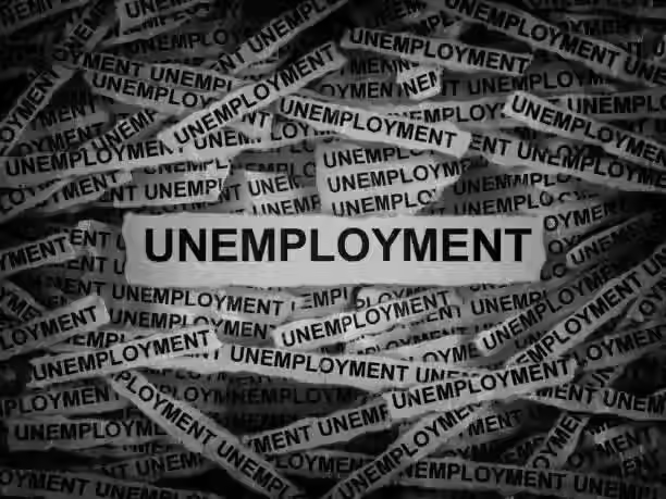
Climate Change Real Estate Bubble
- REWI

- Apr 16, 2024
- 5 min read

Homes constructed in flood plains, storm surge zones, regions with declining water availability, and the wildfire-prone West are overvalued by hundreds of billions of dollars, recent studies suggest, creating a housing bubble that puts the U.S. financial system at risk.
The problem will get worse as sea level rises and storms dump heavier rains and if unwise building practices continue. But increased awareness of climate risks, more realistic flood insurance pricing, and reform of government disaster policy could reduce this overvaluation — and the risk of an economically disastrous bubble burst.
Climate futurist Alex Steffen has described the climate change–worsened real estate bubble this way: “As awareness of risk grows, the financial value of risky places drops. Where meeting that risk is more expensive than decision-makers think a place is worth, it simply won’t be defended. It will be unofficially abandoned. That will then create more problems. Bonds for big projects, loans and mortgages, business investment, insurance, talented workers — all will grow more scarce. Then, value will crash, a sudden, catastrophic failure that cannot easily be repaired once broken.
Climate change impacts threaten the stability of the US housing market. In response to growing concerns that increasing costs of flooding are not fully captured in property values, we quantify the magnitude of unpriced flood risk in the housing market by comparing the empirical and economically efficient prices for properties at risk. Residential properties exposed to flood risk based on Studies can be overvalued by US$121–US$237 billion, depending on the discount rate. In general, highly overvalued properties are concentrated in counties along the coast with no flood risk disclosure laws and where there is less concern about climate change. Low-income households are at greater risk of losing home equity from price deflation, and municipalities that are heavily reliant on property taxes for revenue are vulnerable to budgetary shortfalls. The consequences of these financial risks will depend on policy choices that influence who bears the costs of climate change.
Among the natural hazards exacerbated by climate change, flooding is the deadliest, costliest and most widely experienced in the United States. Currently, more than 14.6 million properties in the United States face at least a 1% annual probability of flooding, with expected annual damages to residential properties exceeding US$32 billion. Increasing frequency and severity of flooding under climate change is predicted to increase the number of properties exposed to flooding by 11% and average annual losses (AALs) by at least 26% by 2050 under Representative Concentration Pathway (RCP), presenting substantial costs to property owners, insurers, mortgage lenders and the federal government.
The increasing burden of flooding under climate change has led to growing concerns that housing markets are mispricing these risks, thus causing a real estate bubble to develop. While empirical studies have observed an average discount of 4.6% for properties located in the 100 yr flood zone, recent evidence suggests that this price discount does not fully capture the expected costs of flooding. One study estimated that properties in the 100 yr flood zone could be overvalued by an average of 8.5% of their current value, not accounting for increasing damages from climate change. This unpriced flood risk could perpetuate perverse incentives for continued development in floodplains and underinvestment in hazard mitigation, further inflating the housing bubble. Despite these concerns, the magnitude, distribution and potential social and economic consequences of overvaluation in US housing markets remain uncertain.
Incomplete pricing of flood risk may be driven by lack of information about potential flood losses, cognitive biases in risk perceptions and/or socialization of flood-related costs (that is, transferred to taxpayers). In many cases, potential buyers may be unaware of a property’s risk because of deficiencies in the Federal Emergency Management Agency (FEMA)’s flood insurance rate maps (FIRMs), as well as inconsistent state-level flood risk disclosure laws. Misperceptions of natural hazards and climate change further limit homebuyers’ ability to rationally price flood risk, as a range of systemic biases may lead to underestimation of the probability and severity of being affected by flooding. Additionally, subsidization of National Flood Insurance Program (NFIP) premiums and climate-agnostic mortgage lending practices have created distorted price signals by transferring flood-related costs away from property owners

Examples of Government trying to address this is in New Jersey State officials have unveiled new and enhanced tools and technologies designed to provide prospective homebuyers and renters with critical information needed to make better-informed decisions on where they choose to live and how best to protect their property from flood damage.
The measures, which include the publication of new disclosure forms notifying of a property’s known flood history and potential flood risks, as well as the launch of a user-friendly internet lookup tool searchable by mailing address that identifies properties in flood hazard areas, implement provisions of flood risk disclosure legislation signed into law by Gov. Phil Murphy in June.
Sellers and landlords will be required to use the new forms, which are available on the Division of Consumer Affairs and Department of Community Affairs websites, beginning on March 20.
State officials noted Thursday that the new law makes New Jersey one of seven states in the country to receive an “A” grade on the Natural Resources Defense Council’s Flood Risk Disclosure Law Scorecard and was passed in response to the growing flood risks New Jersey is seeing as a result of climate change.
“As we continue to live with the impacts of climate change in our communities, it’s essential that we inform prospective homebuyers and renters of the risks in areas where they are looking to settle down,” Murphy said in a statement. “These new protections will enable prospective homebuyers and renters to stay a step ahead when it comes to finding the safest residence possible for themselves and their families.”
What U.S. cities are at the highest risk for flooding?
Balancing the risks of flooding as it applies to roads, critical infrastructure, and residential and commercial properties, the report identifies these cities as being in the most danger:
Metairie, LA
New Orleans, LA
Cape Coral, FL
Stockton, CA
Fort Lauderdale, FL
Sacramento, CA
Charleston, SC
Miami, FL
North Port, FL
Chattanooga, TN
Eugene, OR
St. Petersburg, FL
Santa Rosa, CA
Tampa, FL
Mobile, AL
Houston, TX
Lake Charles, LA
Hampton, VA
Fresno, CA
Palm Coast, FL

The US cities where wildfires threaten the most homes
Los Angeles-Long Beach-Anaheim (242,188 residences)
Riverside-San Bernardino-Ontario (212,921 residences)
San Diego-Chula Vista-Carlsbad (153,999 residences)
Sacramento-Roseville-Folsom (102,291 residences)
San Francisco-Oakland-Berkeley (92,824 residences)
Austin-Round Rock-Georgetown (91,961 residences)
San Antonio-New Braunfels (71,795 residences)
Denver-Aurora-Lakewood (69,287 residences)
Colorado Springs (51,321 residences)
Bend, OR (31,782 residences)

Due to the overpopulation of geologically sensitive areas there is more Sinkhole Prone areas. The year-round warm weather, lower cost of living, and attract many new residents every year. However, few know that they could sit on a ticking time bomb: A sinkhole which is a depression in the ground that has no natural external surface drainage. Basically this means that when it rains, all of the water stays inside the sinkhole and typically drains into the subsurface.
Sinkholes are most common in what geologists call, “karst terrain.” These are regions where the types of rock below the land surface can naturally be dissolved by groundwater circulating through them.

According to the USGS, about 20 percent of U.S. land is susceptible to sinkholes. The most damage from sinkholes tends to occur in Florida, Texas, Alabama, Missouri, Kentucky, Tennessee, and Pennsylvania.


Comments